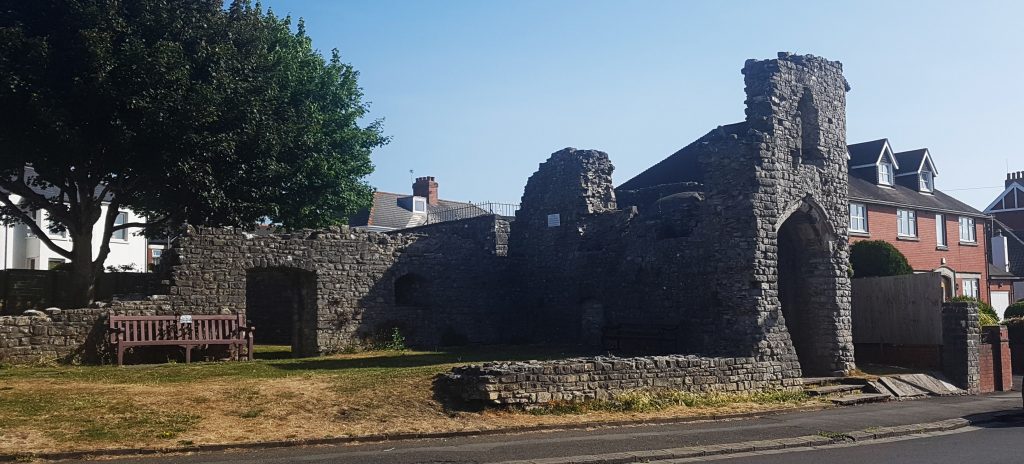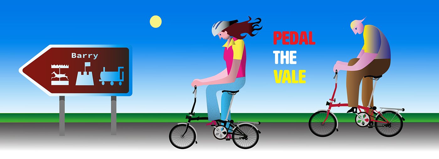
Our route starts from Barry castle.
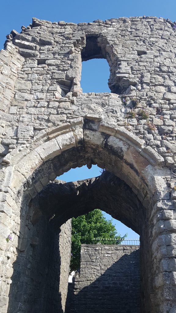
Here’s a 360 degree pic of the castle
(excellent info on the castle here http://glamorganhistoryandarchaeology.blogspot.com/2016/07/barry-castle.html).
Cycle up the road and at the end follow around into Oxford Street. Follow it to the end where it joins with Pontypridd Rd.
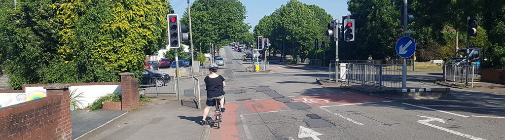
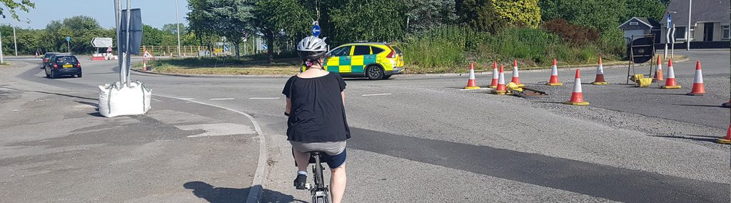
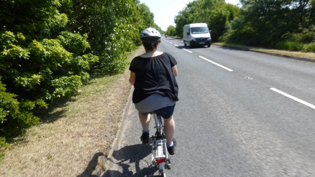
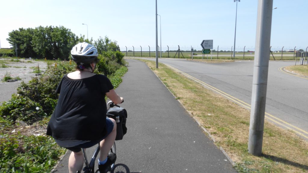
Follow this right to the end and cycle straight across the roundabout onto the ‘5 Mile Lane’.
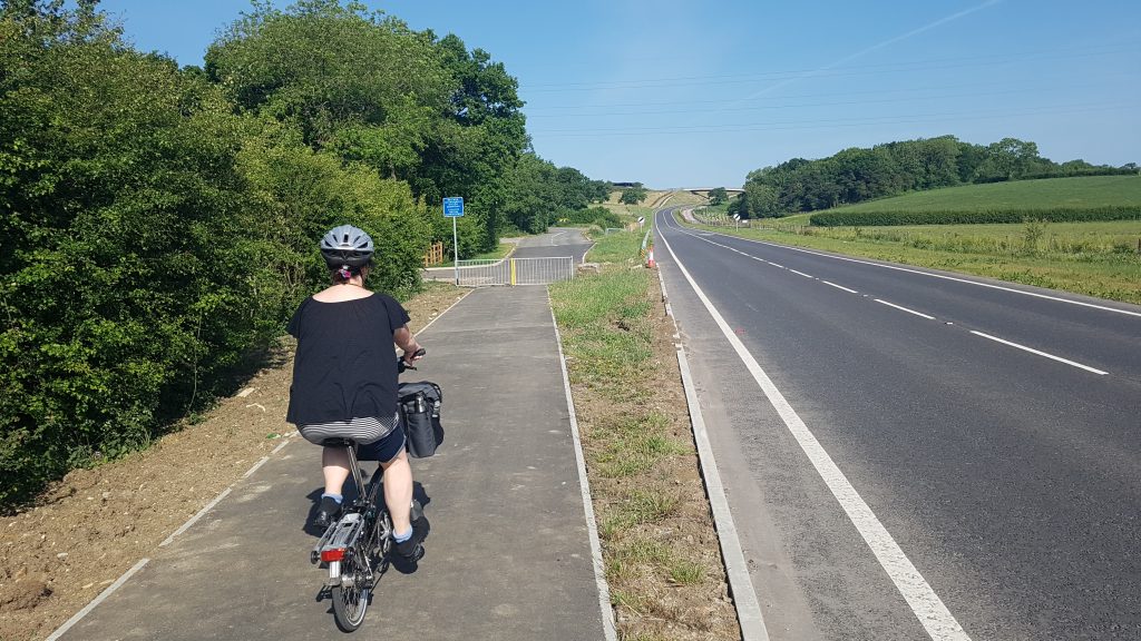
Here, you’ll encounter a very new stretch of road with a cycle path (shared pavement). Rest your legs and let your bike coast down the hill.
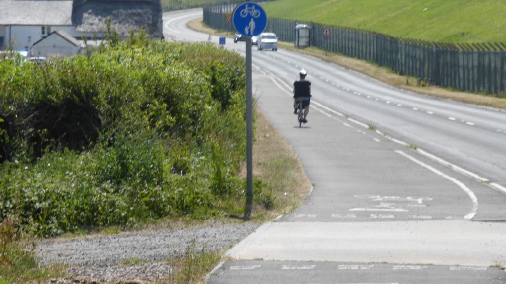
Past the Hawking Centre, you’ll then take the left fork of the cycle path which actually joins the old ‘5 Mile Lane’.
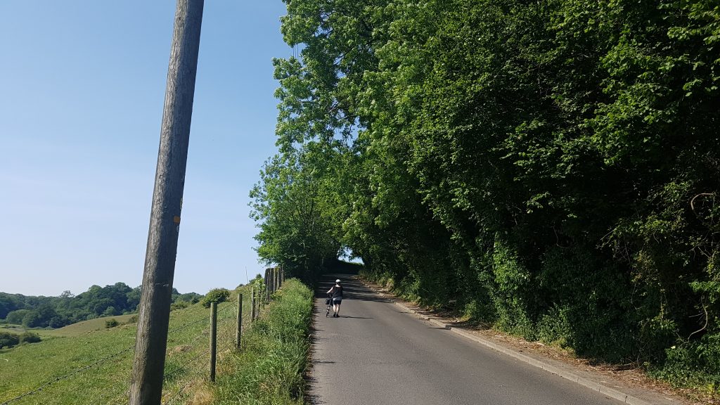
Go up the hill, if you’re like us, you may have to dismount and push a little.
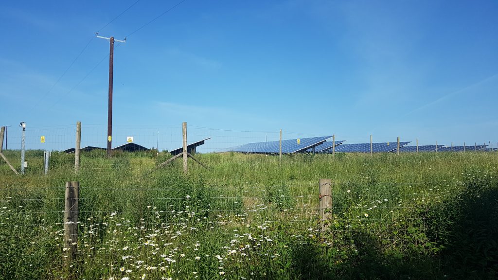
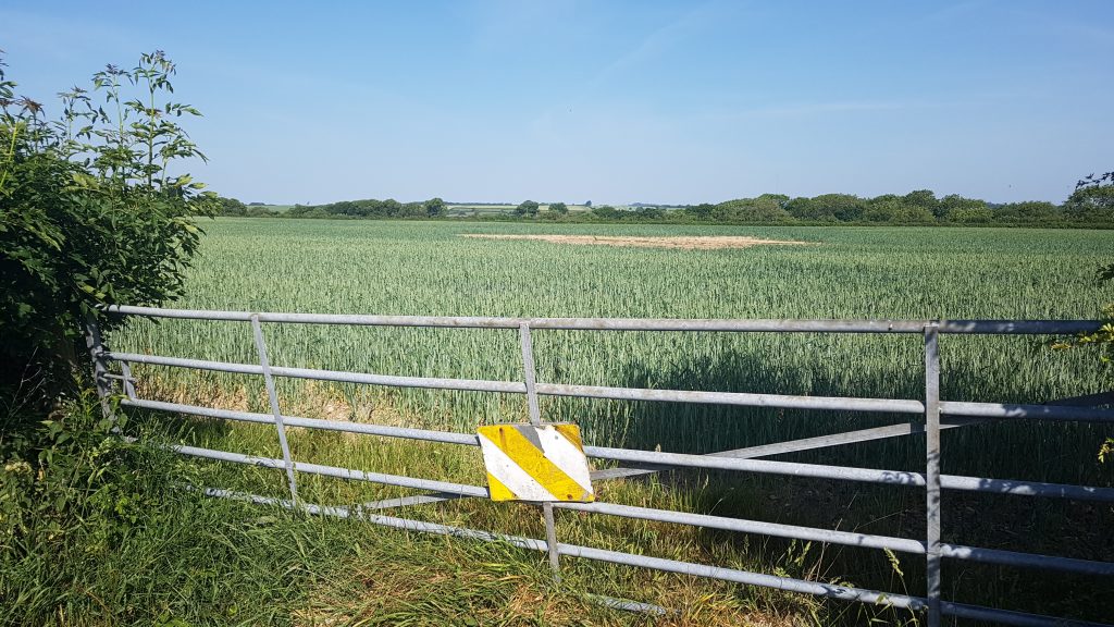
You’ll go past a solar farm on the left and a farm on the right.
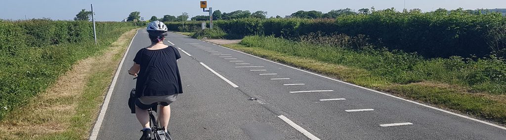
Watch out for the speed camera!
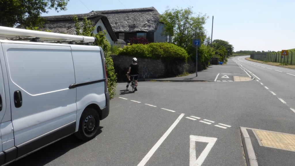
Take a left at the turning for Moulton.
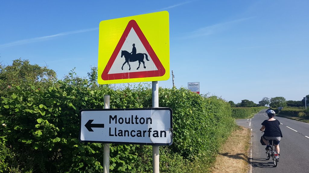
Follow this narrow road through houses until you come to a fork in the road at The 3 Horseshoes pub.
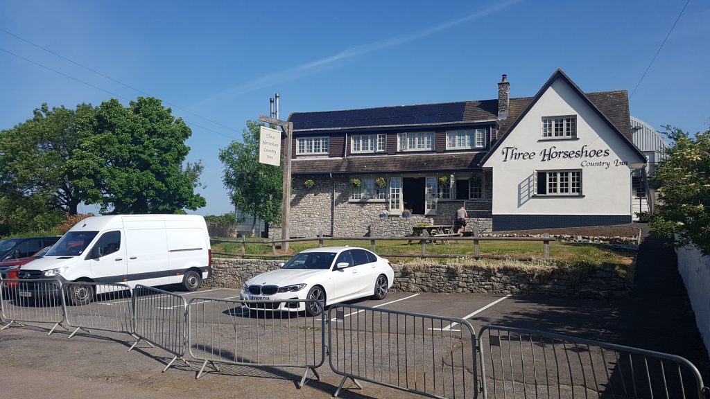
Take the right fork and the road narrows even more, keep going for several miles meandering your way down the valley.
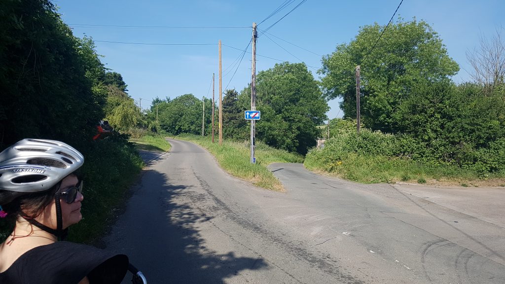
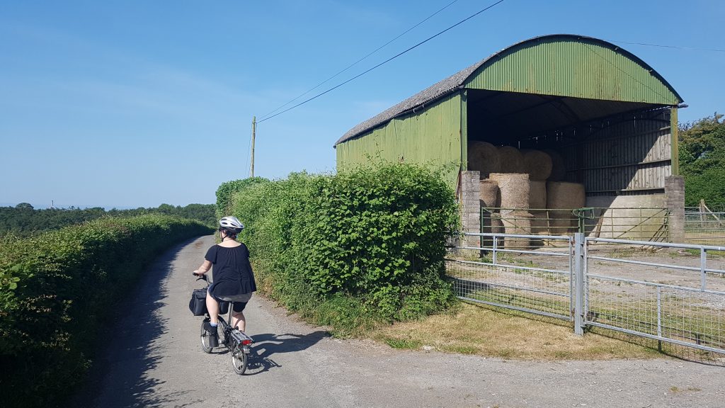
You’ll pass some lovely houses, corn fields and farms.
You’ll eventually pass a sign for Llancarfan and then come to an un-signposted T junction- take a right.
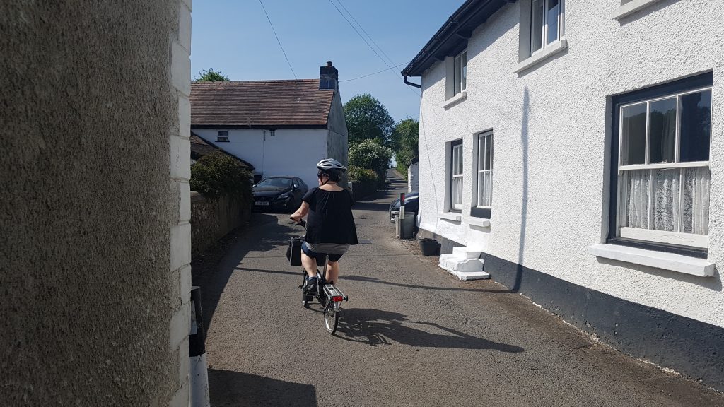
You’ll pass a number of houses and then find yourself at the central junction of Llancarfan.
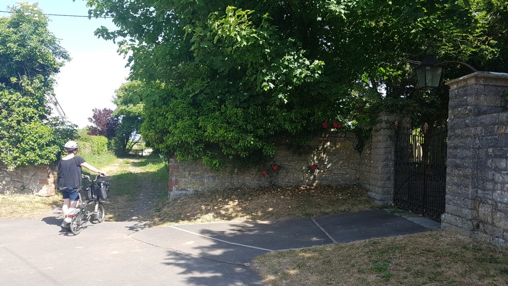
Bear left past the red telephone box & village hall. You’ll then see the lovely St Cadoc’s church on your right.
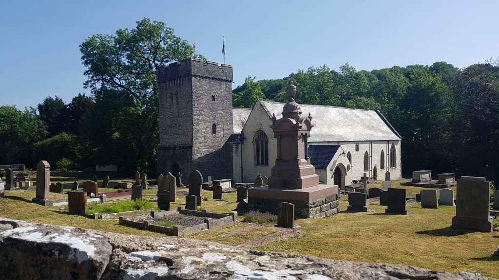
St Cadoc’s Church was built on a monastery which dates from 650AD. The church is famous for it’s notable wall paintings.
Here’s a 360 degree pic of the church
http://stcadocsllancarfan.co.uk/murals-and-carvings/4594290883
Cycle around the perimeter of the church and you’ll come to The Fox and Hounds pub, with a very nice outdoor drinking area with a stream running through it.
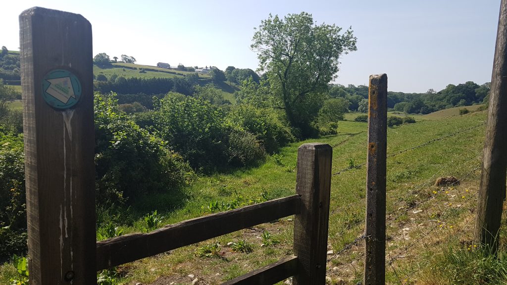
After having a look around the church and a drink, head on your way back to the front gate of the church and take a left following signs for Penmark.
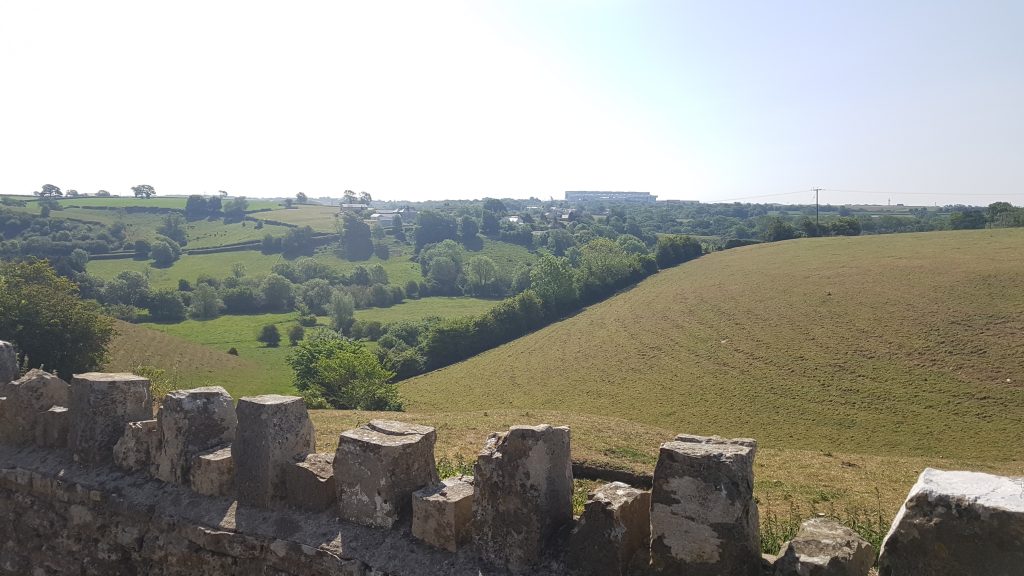
Climb the hill out of town with it’s great views across the valley towards the incongruous BA plane hanger on it’s ridge.
At the junction which has signs pointing in many directions, take the first exit which is signposted Barry.
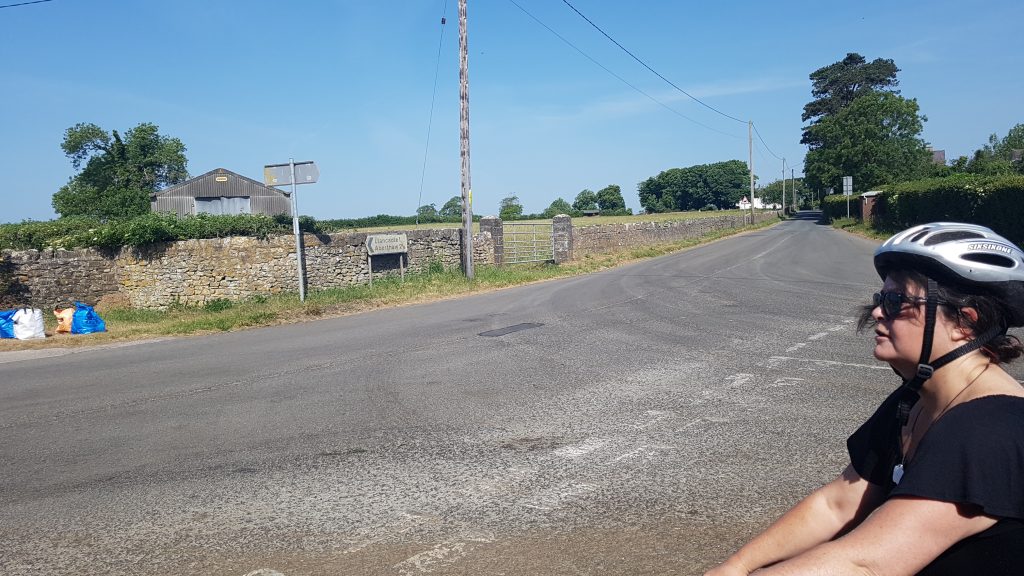
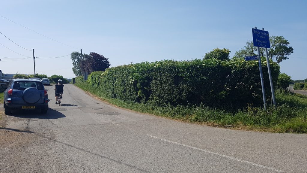
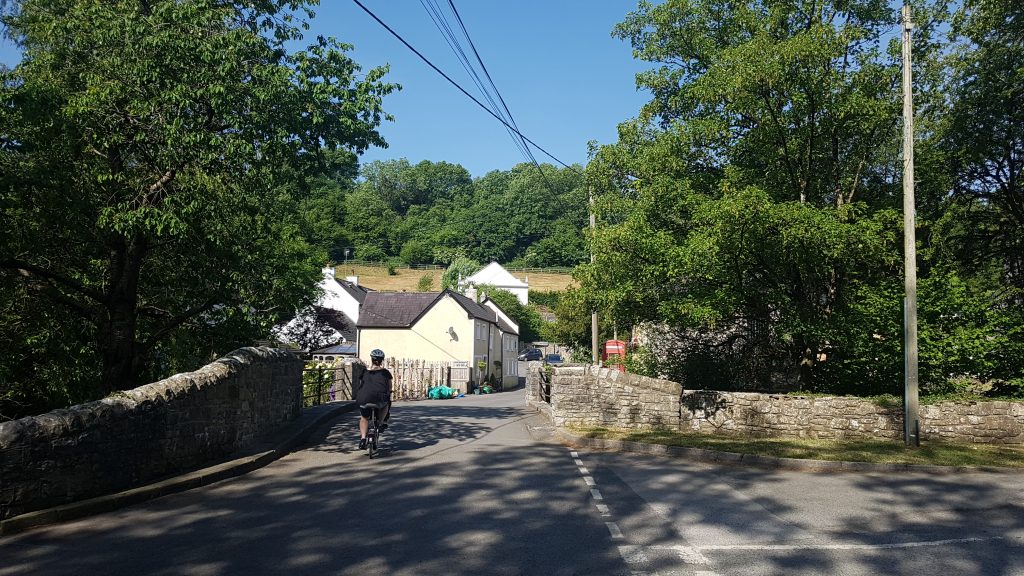
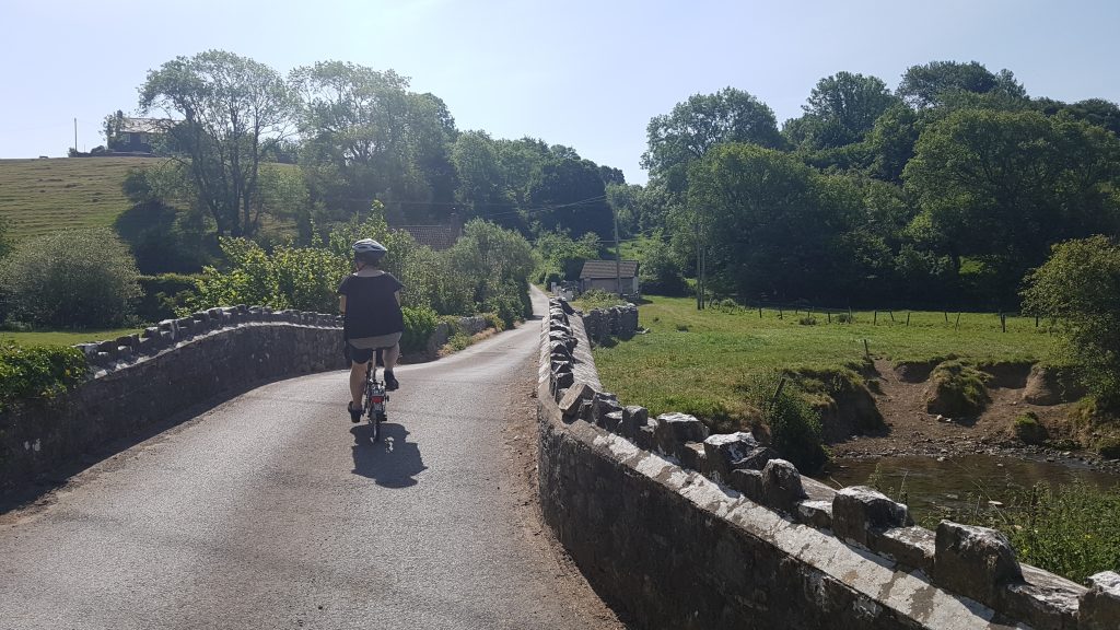
Follow this pleasant single track road for about a mile. Over a ‘weak bridge’, you’ll come to a junction with a couple of houses and a sign left to Penmark.
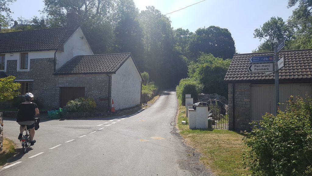
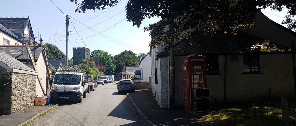
After about half a mile you’ll reach the pleasant town of Penmark itself.
To reach the well hidden castle ruins, carry on straight to the church (St Marys) and go down the lane to it’s left.
On the right you’ll see a metal gate from where you can see the overgrown castle ruins in a private field.
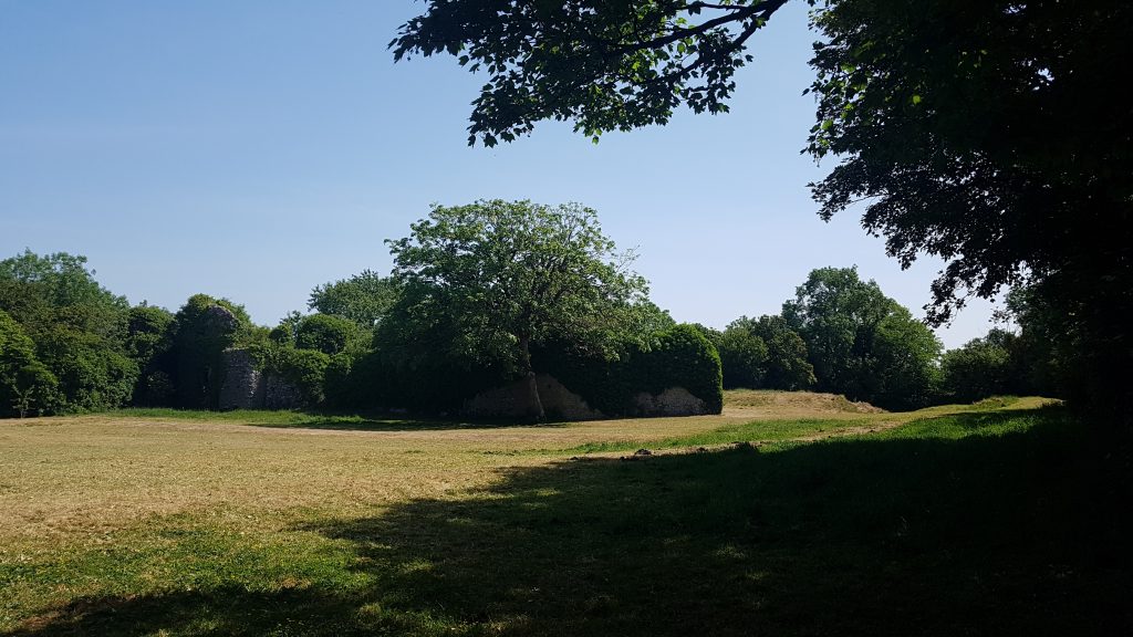
To get permission to enter you apparently have to ask at the house next to the church.
Penmark Castle (13th Century): http://www.castlewales.com/penmark.html
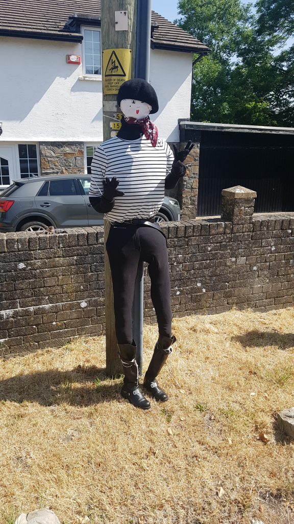
After resting at Penmark, carry on past the church up the main road.
You may bump into some odd looking (possibly French) residents.
After a couple of hundred yards, you’ll reach a junction with an inviting bench under a tree.
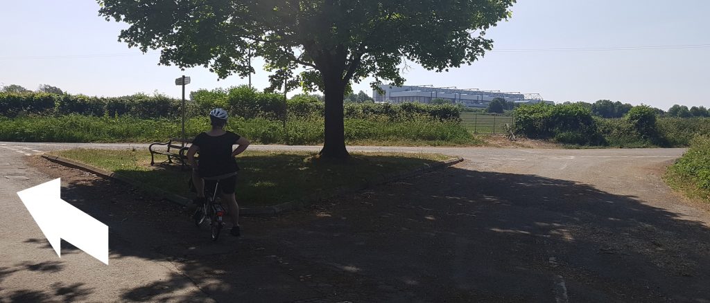
You could take a right here but if you go straight (Tredogan Rd) you’ll avoid most of the busy main road from Llantwit Major.
You’ll then unavoidably join the busy main road for a short while, take a left and meet the roundabout just outside the airport. Cross the road here and join the cycle path which runs towards the airport itself.
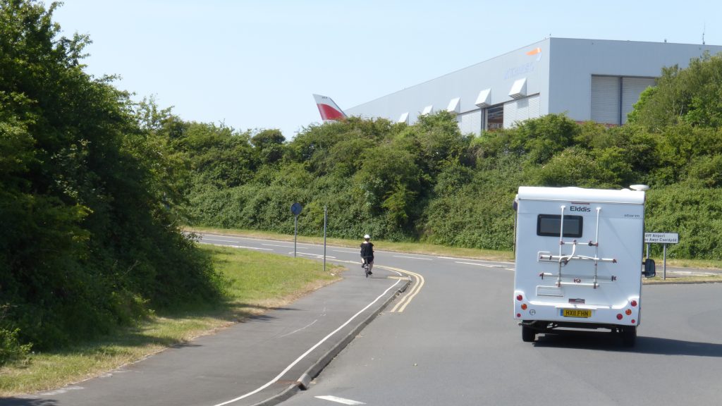
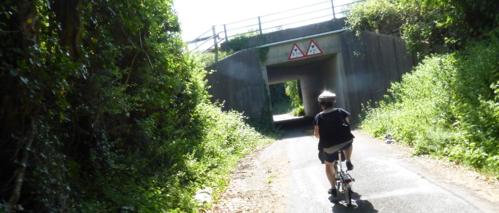
Just before the airport, a sign will direct you to the left down a pleasant country road which will take you around it’s perimeter past several houses and under a bridge.
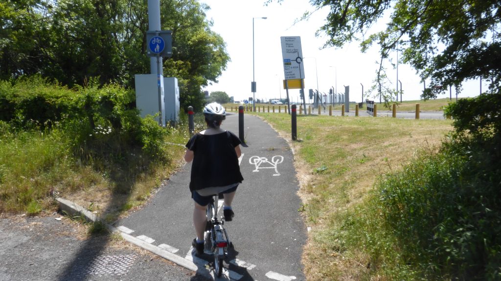
You’ll come out at a roundabout. Go straight across and skirt the airport fence to the entrance of Porthkerry Country Park.
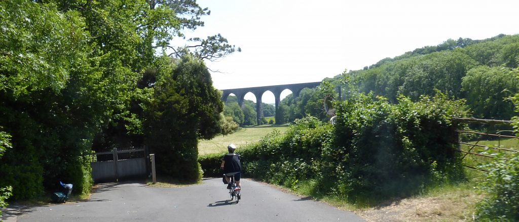
Take a left down into the park.
You’ll pass the familiar viaduct.
Ride right through the park, up the hill (push if necessary) to it’s entrance.
Just down the road you’ll come to where we set off, Barry Castle.